Frames or orthomosaic?
The first decision is what gets labeled.
- Original frames keep the full resolution, oblique angles and, for thermal cameras, the temperature data. They suit inspection, where the defect is small. The same object appears in several overlapping frames, so labels are matched up or counted once.
- An orthomosaic is one georeferenced map stitched from all frames. It suits counting and measuring areas and volumes, because every object appears once and in map coordinates. Stitching can smear tall or thin objects such as towers, wires and tree edges.
A rule of thumb: defects on frames, counts and areas on the orthomosaic.
Ground sample distance
Ground sample distance (GSD) is the size of one pixel on the ground. It depends on flight height and camera, and for inspection flights it is often a few centimetres. Plan the flight around the smallest thing that has to be labeled: an object or defect needs to span several pixels to be labeled reliably. No amount of annotation recovers detail the camera did not capture.
Sensors and what each can show
| Sensor | Good for |
|---|---|
| RGB camera | Visible damage, objects, counting, construction progress |
| Thermal (radiometric) | Hotspots, electrical faults, heat loss, moisture |
| Multispectral | Plant health and vegetation indices |
| LiDAR | Point clouds, heights, conductor clearance, volumes |
Thermal labels should be drawn on the radiometric data (R-JPEG or TIFF), not on a coloured preview, so the temperature of each labeled area can be read back.
Common drone annotation tasks
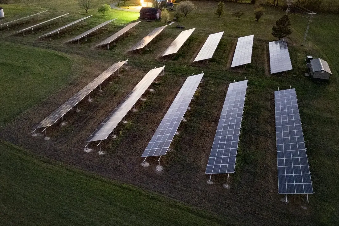
- Solar panel inspection: panel tables, strings and defects such as hotspots, cracks and soiling.
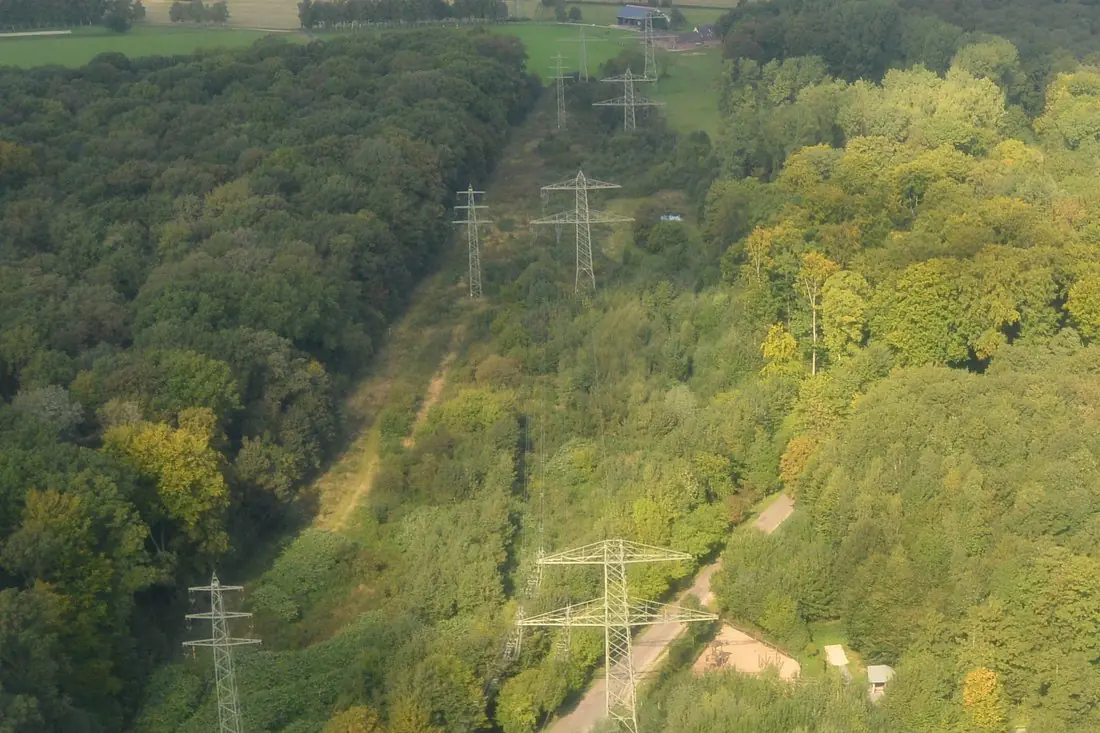
- Power lines and utilities: towers, conductors, insulators and vegetation near the line.
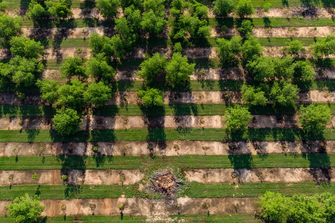
- Plant and tree counting: one point or crown per tree, with health or size classes.
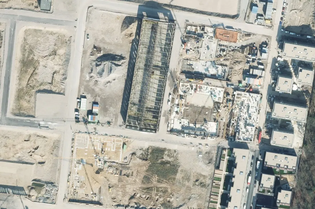
- Construction and stockpiles: progress classes, materials, equipment and stockpile outlines.
- Roofs, wind turbine blades, crop scouting and mine sites follow the same pattern with their own class lists.
Types of drone annotation
- Bounding boxes for objects and defects a detector should find.
- Polygons and masks for areas: panel tables, crowns, stockpiles, damaged roof sections.
- Points for counting plants and trees.
- Polylines for conductors, fences and edges.
- Point cloud classes for LiDAR: ground, vegetation, wire, tower, building, following the ASPRS LAS classes where possible.
Formats
- Frames: COCO, YOLO or Pascal VOC in pixel coordinates, keyed to the original file names so camera position data stays linked.
- Orthomosaics: GeoJSON, GeoPackage or Cloud-Optimized GeoTIFF masks in the project’s coordinate system.
- Point clouds: LAS or LAZ with a class per point.
Quality control for inspection data
In inspection, a missed defect costs more than a false alarm, so recall per defect class is the number to watch. Areas the imagery cannot judge (glare on panels, motion blur, a tower hidden by trees) get their own “not inspectable” label, so they can be flown again rather than reported as fine.
As with satellite data, accuracy is measured per class on a reviewed sample, and the labeling guideline is written and agreed before the work starts.
Privacy
Drone flights catch people, faces, cars and neighbouring property by accident. Under the GDPR that is personal data. Agree up front whether such frames are excluded, blurred or labeled, and keep imagery for the project only.
Written by IKT Spīdolas. See also: Satellite image annotation: a practical guide.