What we label in satellite imagery
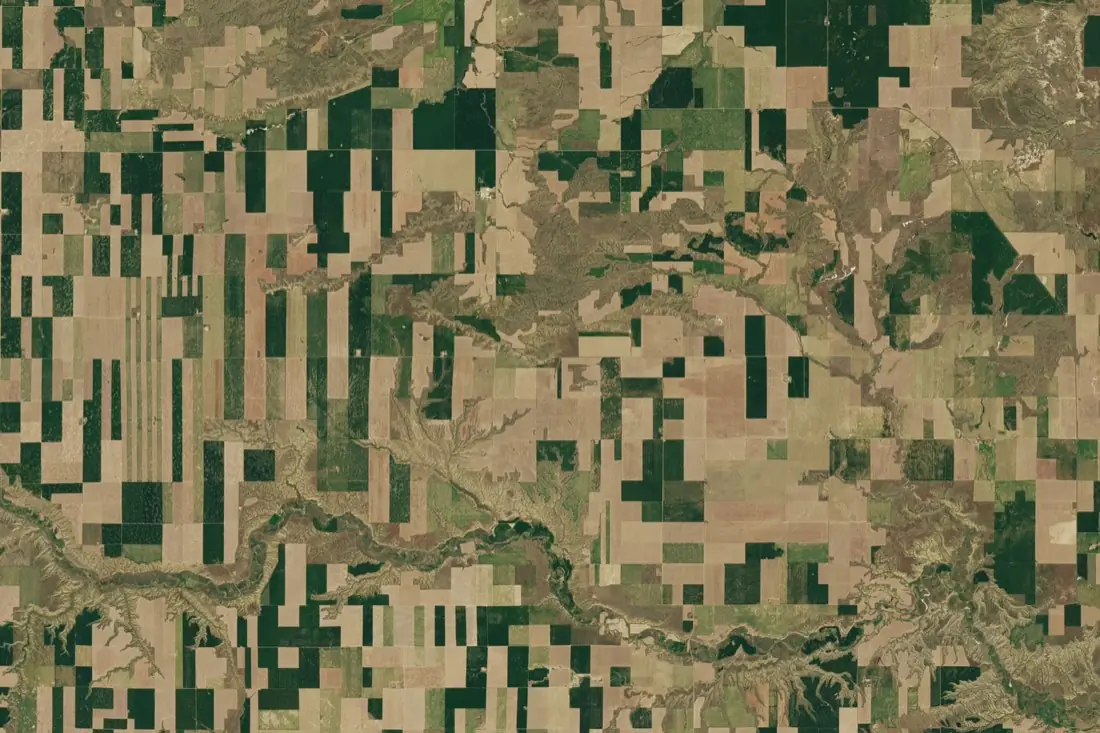
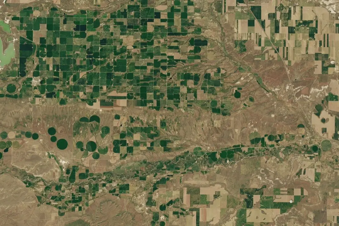
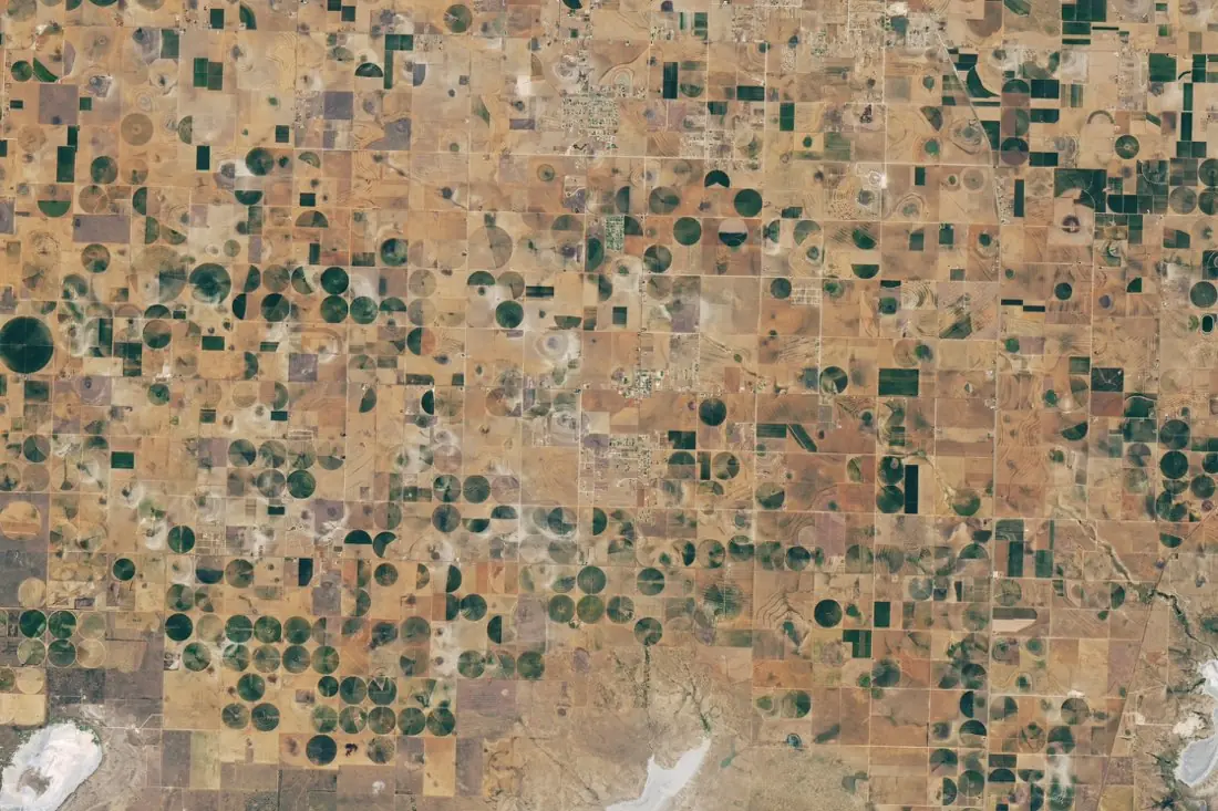
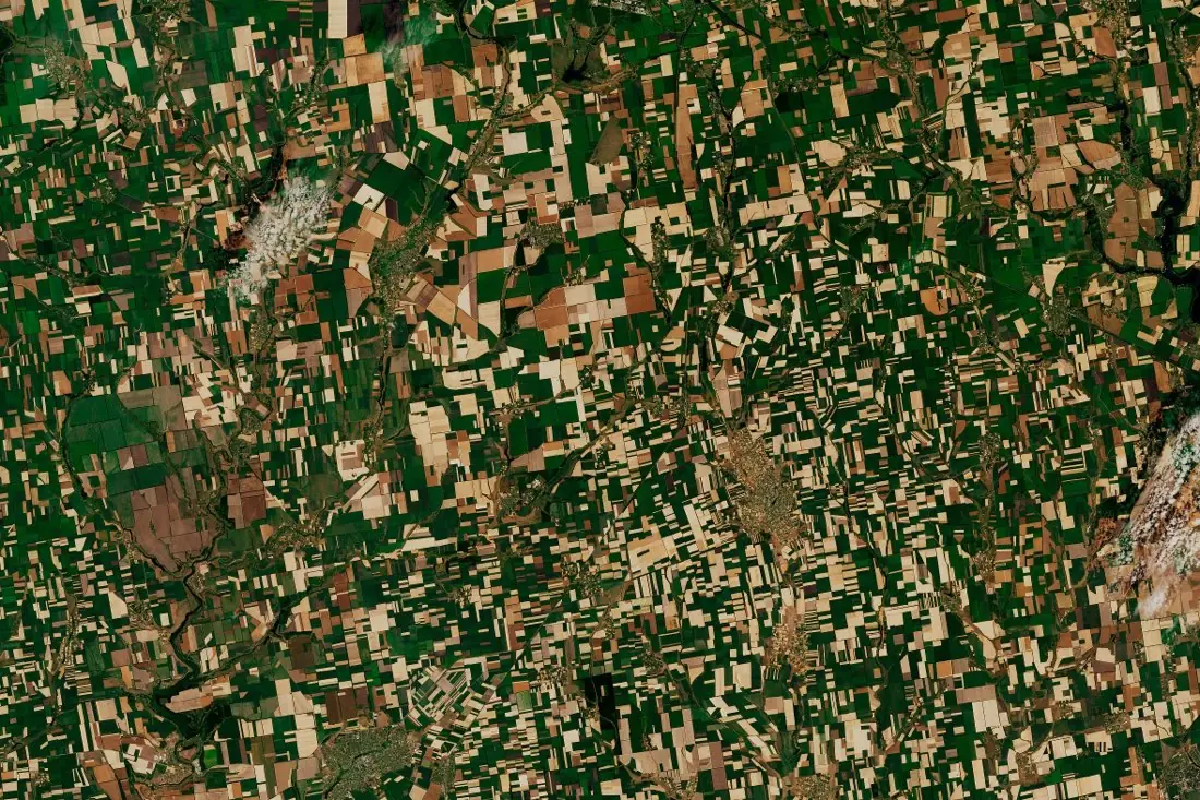
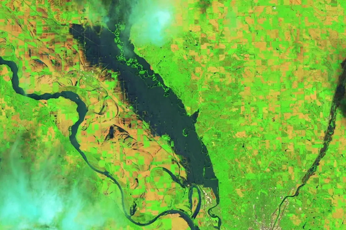
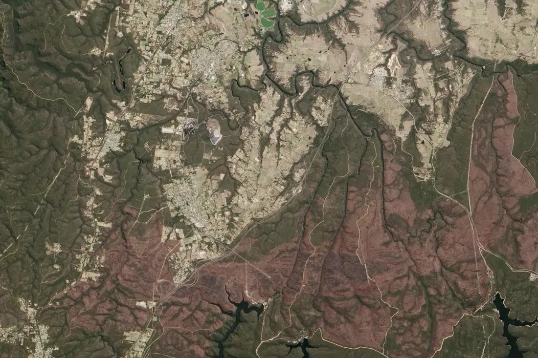
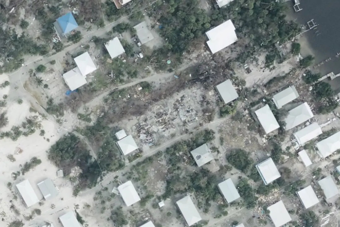
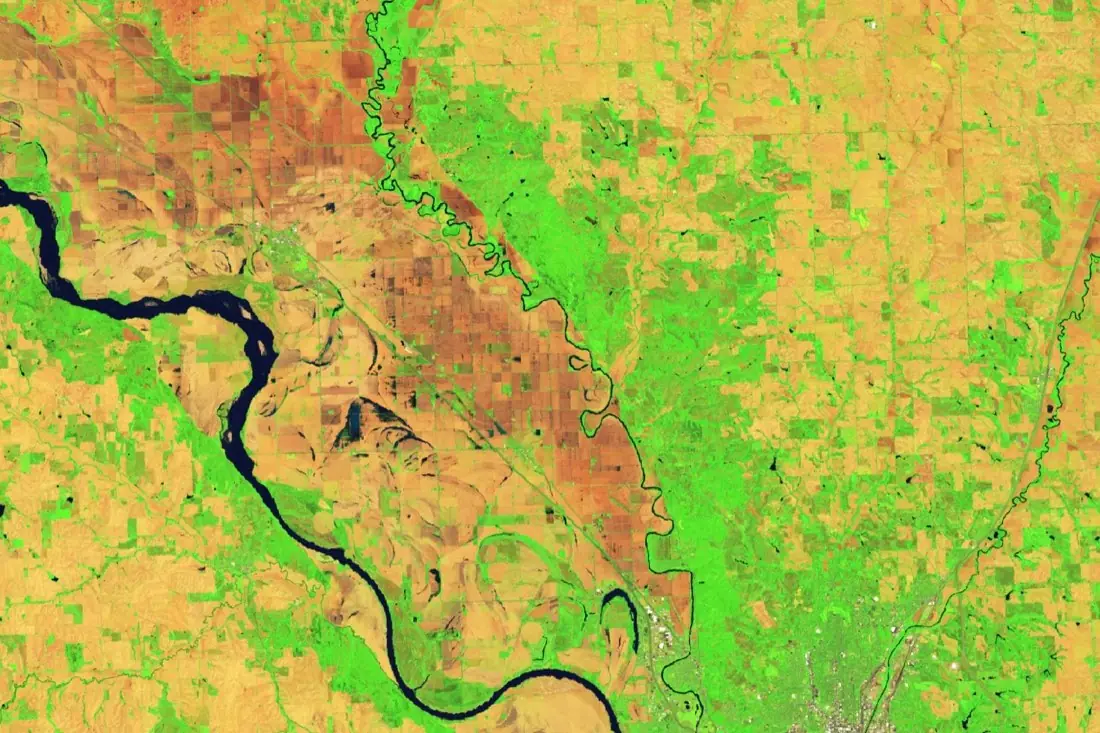
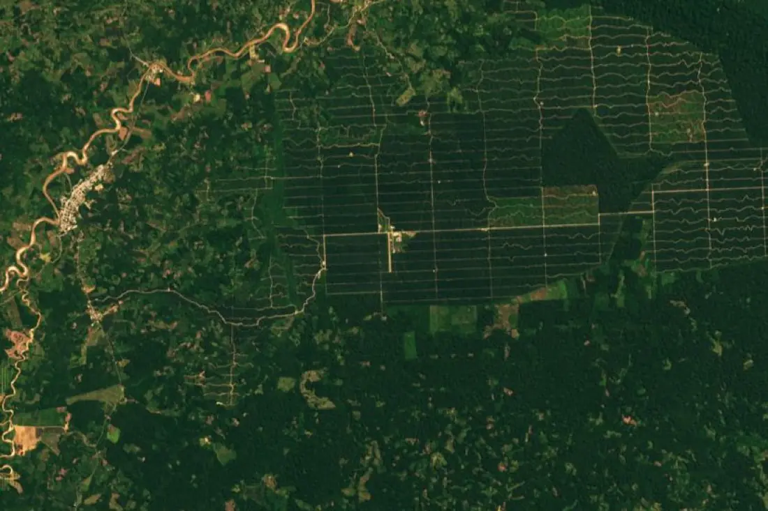
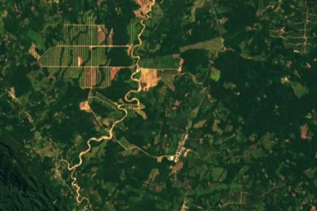
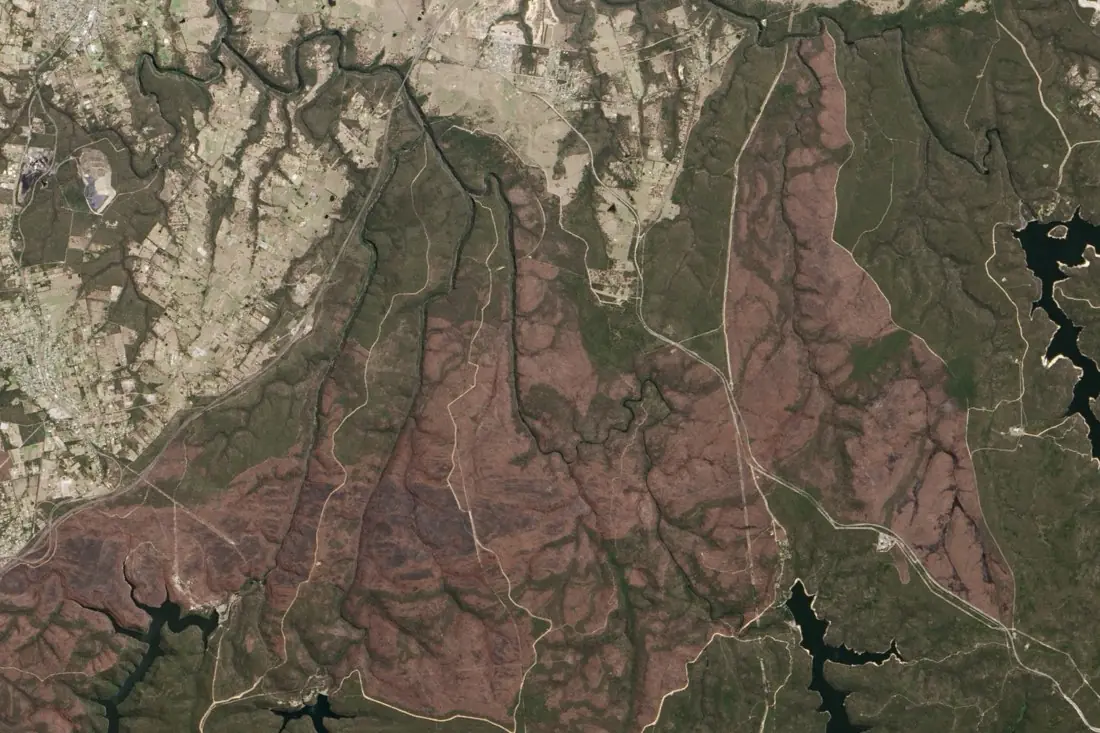
IKT Spīdolas turns satellite and aerial imagery into labeled training data and map layers. Below is every label type we offer, grouped by industry. Each page shows a real image before and after labeling, what the labels are used for, and the imagery and formats involved.
Agriculture
Training data for yield, subsidy and crop-monitoring models.
Insurance
Labels for claims, catastrophe and risk models.
Forestry & environment
Evidence for EUDR due diligence and carbon reporting.
Government
Consistent maps for planning, monitoring and enforcement.
Next step
Your case isn’t on the list?
Most projects need their own classes, sensor mix or target. Tell us what your model has to learn and we design the labeling around it.