Land use labeling for planning and statistics
Land use labeling classes land by what people do with it (housing, commerce, industry, transport, open space) rather than by what covers it. Planners, statisticians and urban models need it to see how a city or region is actually used.
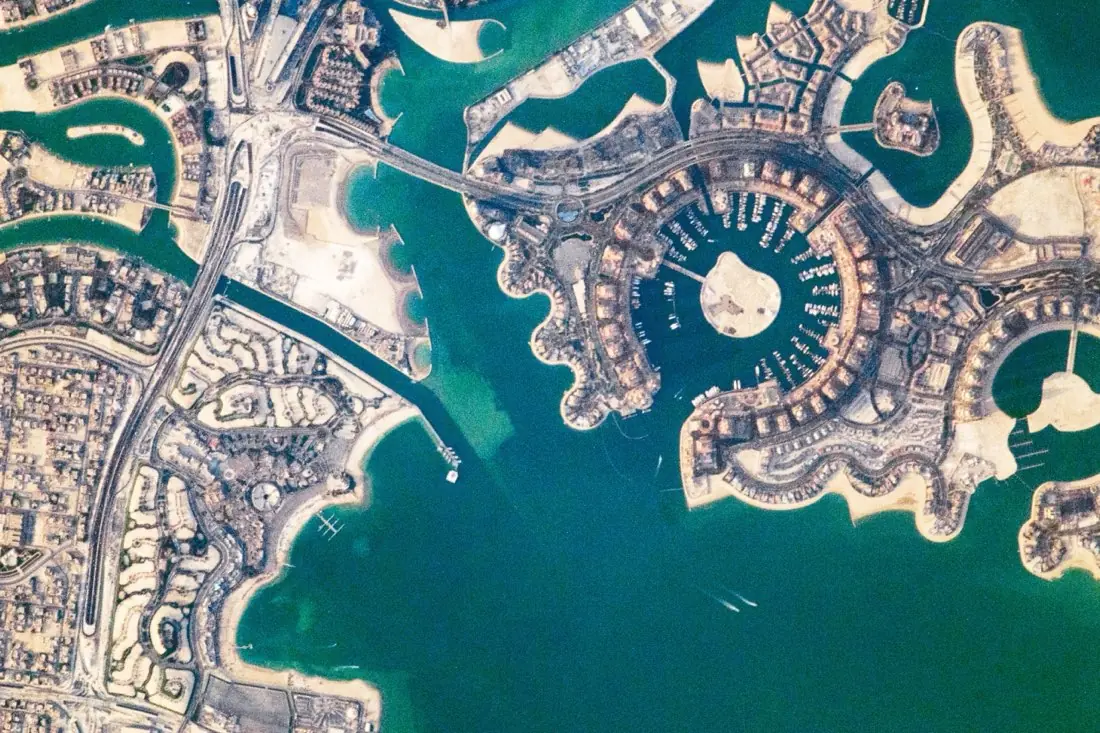
- Residential3 polygons
- Mixed use1 polygon
- Open land1 polygon
- Marina1 polygon
- Transport2 lines
What land use labeling is
Land cover says “buildings”; land use says “housing” or “warehouse”. Telling them apart takes context (building size, layout, parking, plot pattern), so land use is labeled on high-resolution imagery with a clear legend and examples. We map blocks or plots to your planning classes. The example is The Pearl-Qatar in Doha, photographed from the International Space Station.
How we label it
Labels follow your planning legend or a standard such as Urban Atlas, at block or plot level. Mixed blocks get the dominant use plus a mixed-use flag, so the rule stays consistent.
Who uses land use labels
Spatial planning
An up-to-date picture of land use to compare against zoning and plans.
Official statistics
Consistent land-use accounts across municipalities and years.
Urban models
Training data for models that map land use across whole countries.
Infrastructure and utilities
Demand estimates based on where homes, offices and industry are.
How a project runs
Four steps, each ending in something you can check before the next one starts.
Brief
Area, dates and class list agreed in writing, with example images for every class and its edge cases.
You getWritten labeling guideline
Imagery
Your imagery, or sourced for you: free Sentinel and Landsat, or commercial high-resolution scenes.
You getScene list with dates and resolution
Labeling
Annotators work to the guideline. Anything the imagery cannot settle is flagged, not guessed.
You getLabels plus a log of flagged cases
Check & delivery
Every class is reviewed against a sample before the data leaves us.
You getData and per-class accuracy, in your format and CRS
Questions about land use
What is the difference between land use and land cover?
Land cover is physical: trees, buildings, water. Land use is functional: housing, industry, recreation. The same roof can be a home or a factory.
Can you use our zoning classes?
Yes. We map your zoning or planning classes to written definitions with examples before labeling.
Can you label land use from Sentinel-2?
For broad classes over large areas, yes. For plot-level use, high-resolution imagery is needed.
Related label types
Need land use labeled?
Tell us your area, your imagery and what your model has to learn. We reply with a proposed class list and a quote.