Crop type labeling for satellite imagery
Crop type labeling assigns each field in a satellite image the crop growing in it: wheat, maize, rapeseed, soy, grassland and so on. It is the ground truth that crop-mapping models learn from and are measured against.
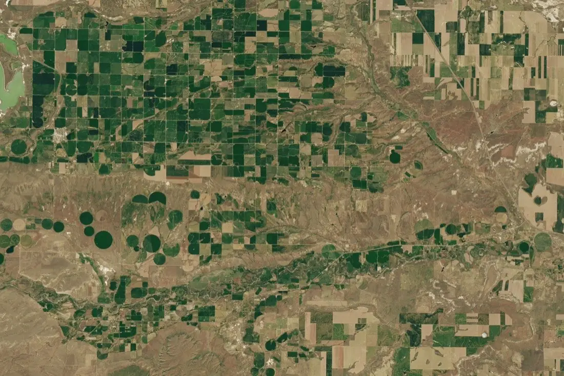
- Irrigated pivot crop18 circles
- Irrigated row crops1 polygon
- Dryland small grains2 polygons
- Water1 polygon
What crop type labeling is
A single image rarely shows which crop is which; crops are told apart by how they develop through the season. We label from time series (several dates of Sentinel-2 or Landsat), combined with any field reference data you hold: farmer declarations, field visits, LPIS extracts. Where imagery alone cannot separate two crops, we say so and keep them as one class rather than guessing.
How we label it
Labels are attached to field polygons (yours or ours; see parcel boundaries) and decided from the seasonal profile across several dates. We document the decision rule per class so that the next season is labeled the same way.
Who uses crop type labels
Crop-mapping models
Training and validation labels for classifiers that map crops across a region every season.
Yield and supply forecasting
Know how much area is under each crop before harvest, for trading, food security and supply chains.
Subsidy verification
Compare the crop seen from orbit with the crop declared for payment.
Crop insurance
Check that the insured crop and acreage match what is actually in the field.
How a project runs
Four steps, each ending in something you can check before the next one starts.
Brief
Area, dates and class list agreed in writing, with example images for every class and its edge cases.
You getWritten labeling guideline
Imagery
Your imagery, or sourced for you: free Sentinel and Landsat, or commercial high-resolution scenes.
You getScene list with dates and resolution
Labeling
Annotators work to the guideline. Anything the imagery cannot settle is flagged, not guessed.
You getLabels plus a log of flagged cases
Check & delivery
Every class is reviewed against a sample before the data leaves us.
You getData and per-class accuracy, in your format and CRS
Questions about crop type
Can you label crop type from one image?
For a few very distinct crops, sometimes. In general you need several dates in the season; that is how we label it.
Do you need ground truth from us?
It helps a lot. Field visits or declarations for even a small share of fields let us anchor each class and check our labels against them.
What about mixed or intercropped fields?
They get their own class or a flag, depending on what your model needs to learn.
Related label types
Need crop type labeled?
Tell us your area, your imagery and what your model has to learn. We reply with a proposed class list and a quote.