Harvest event labeling from satellite time series
Harvest event labeling records which fields have been harvested, mowed or tilled, and between which two image dates it happened. It turns a stack of images into a timeline of farm activity that models can learn to detect.
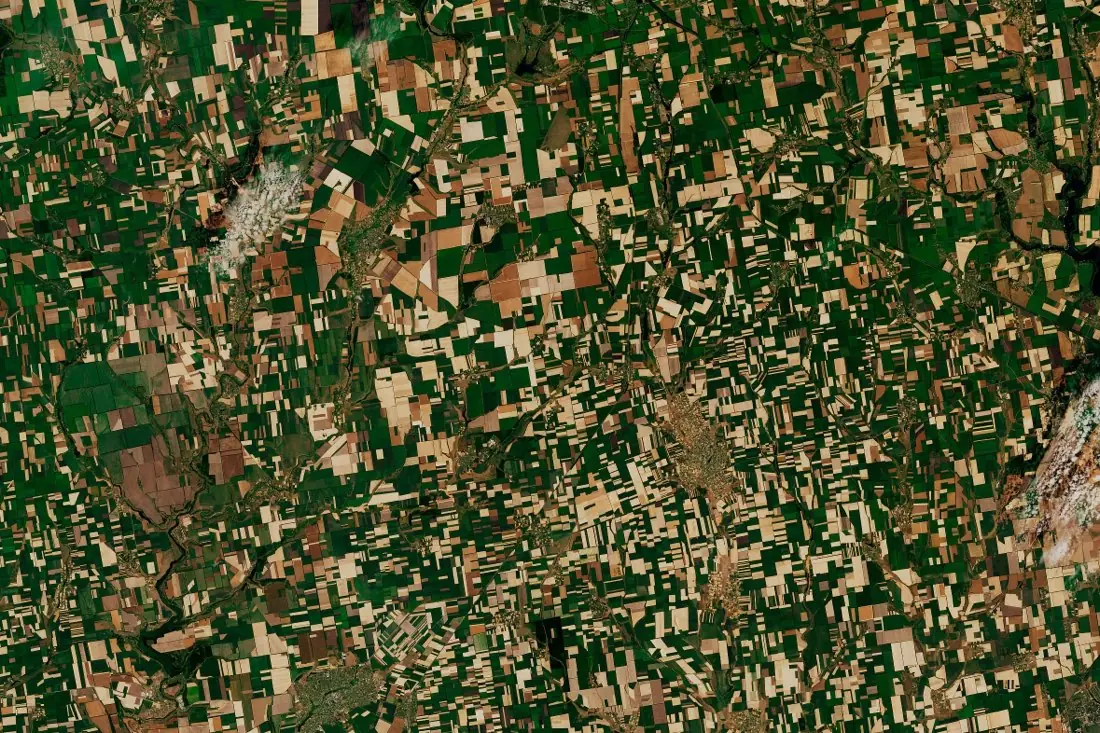
- Harvested13 polygons
- Standing crop5 polygons
- Cloud (unknown)2 polygons
What harvest events labeling is
A harvested field changes abruptly: green or golden canopy becomes bare soil or stubble. We label that change field by field across an image series and date it to the window between the last image before and the first image after. Cloud-covered fields are flagged as unknown, not assumed. The image here is a July scene in Ukraine: pale fields already harvested, green ones still standing.
How we label it
Every field gets a state per image date (standing, harvested, bare/tilled, unknown) from which the event window is derived. Radar from Sentinel-1 fills in when clouds hide the optical images.
Who uses harvest events labels
Harvest progress tracking
Measure how far the harvest has advanced across a region, week by week.
Subsidy rules
Check required activities such as mowing dates on grassland, without a field visit.
Supply chains and trading
Know when supply arrives from a growing region.
Event-detection models
Dated examples to train models that detect harvest, mowing and tillage on their own.
How a project runs
Four steps, each ending in something you can check before the next one starts.
Brief
Area, dates and class list agreed in writing, with example images for every class and its edge cases.
You getWritten labeling guideline
Imagery
Your imagery, or sourced for you: free Sentinel and Landsat, or commercial high-resolution scenes.
You getScene list with dates and resolution
Labeling
Annotators work to the guideline. Anything the imagery cannot settle is flagged, not guessed.
You getLabels plus a log of flagged cases
Check & delivery
Every class is reviewed against a sample before the data leaves us.
You getData and per-class accuracy, in your format and CRS
Questions about harvest events
How precisely can you date a harvest?
To the window between two usable images. With Sentinel-2 and Sentinel-1 combined, that is usually a few days.
Can you label mowing on grassland?
Yes. Mowing is subtler than a crop harvest, so we label it from the time series rather than one image.
What happens with clouds?
Cloud-covered dates are labeled unknown. We never infer an event we could not see.
Related label types
Need harvest events labeled?
Tell us your area, your imagery and what your model has to learn. We reply with a proposed class list and a quote.