Land-cover change labeling over time
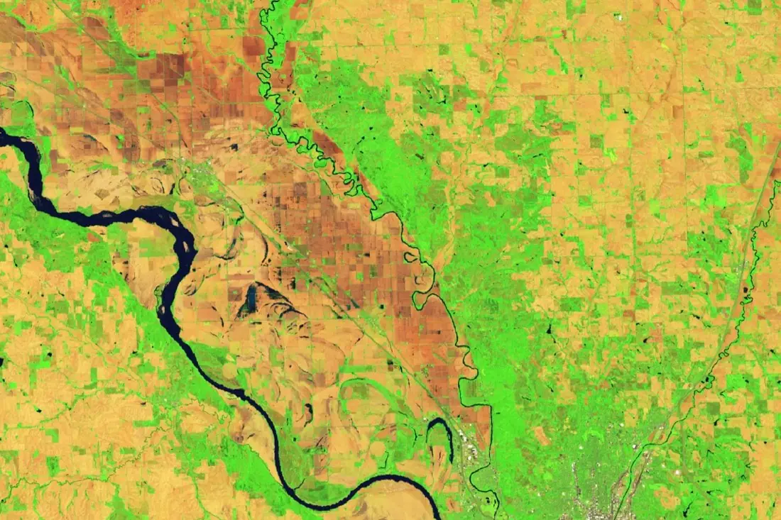
Land-cover change labeling classes every part of an image (forest, plantation, cropland, settlement, water) on two or more dates and records what turned into what. It turns imagery into the land-change statistics that environmental and carbon reporting rely on.
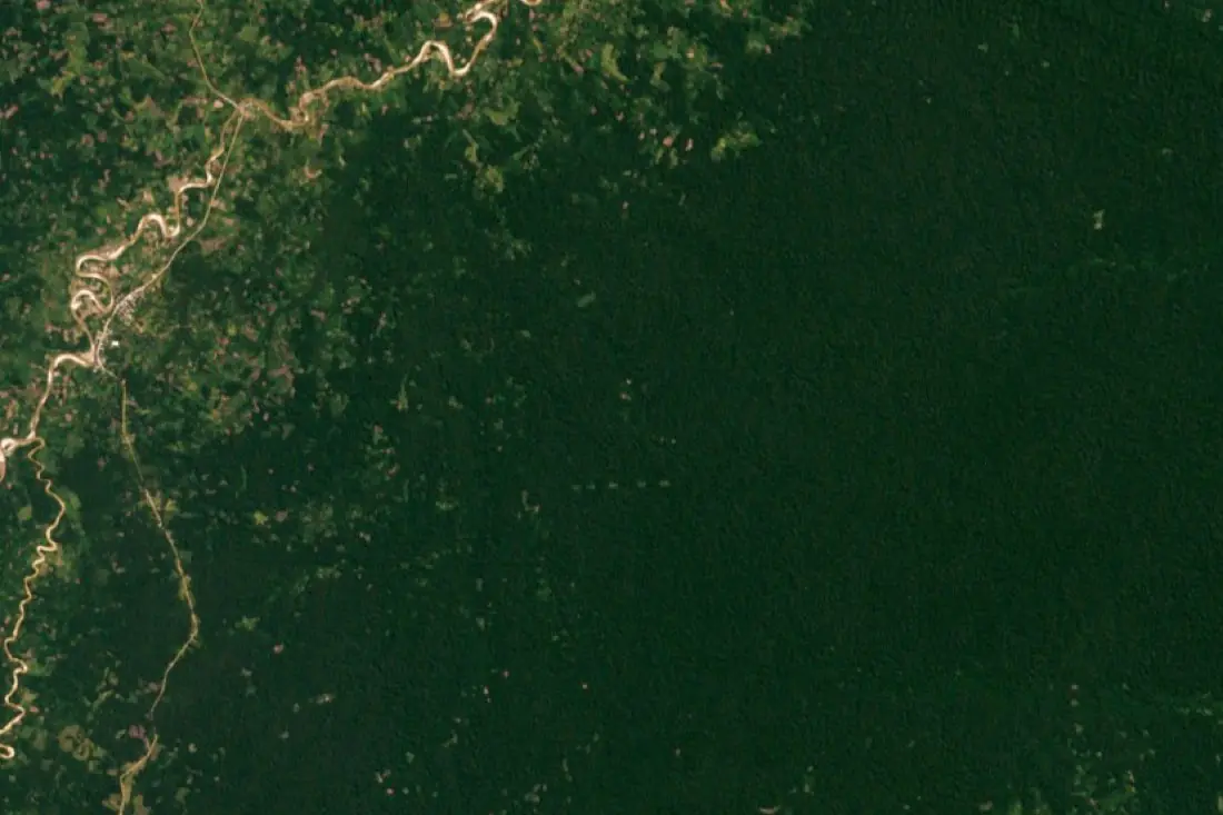
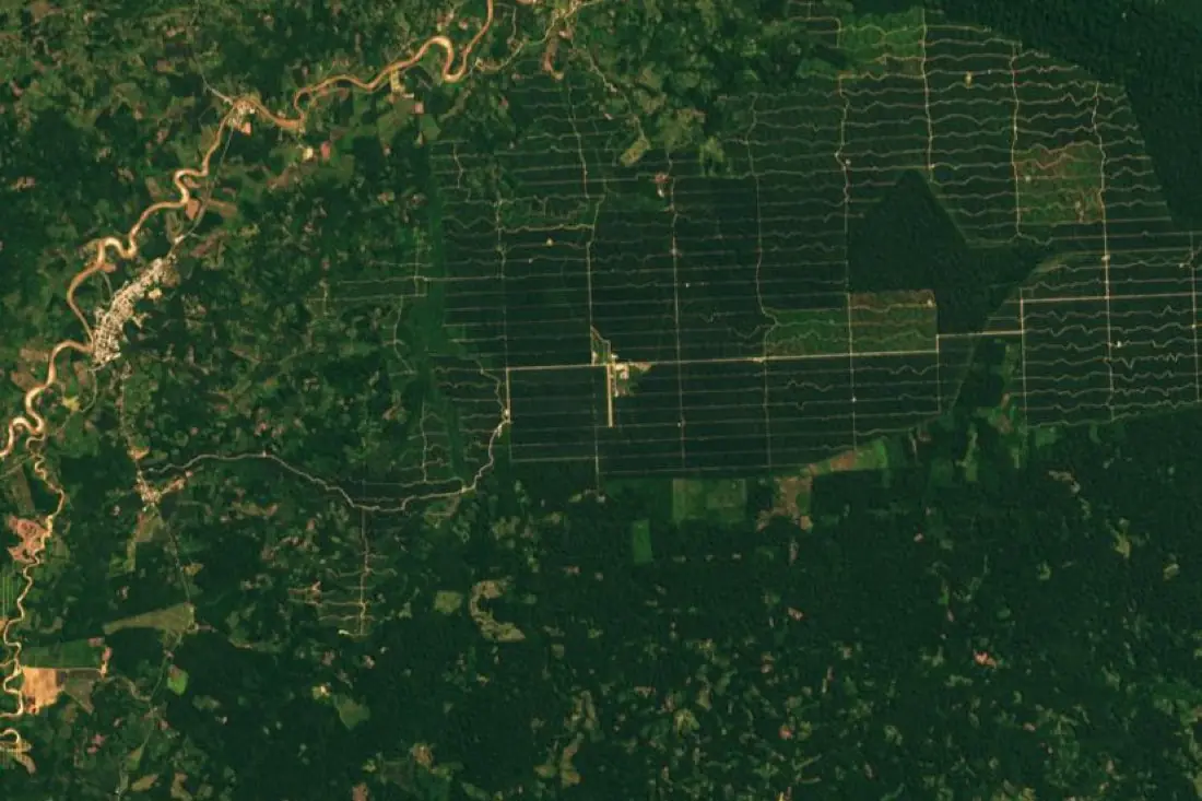
- Tree plantation1 polygon
- Forest3 polygons
- Farmland mosaic1 polygon
- Settlement1 polygon
- River1 line
What land-cover change labeling is
Land-cover maps are only comparable over time if every date is labeled with the same class definitions. We fix the legend first (your own, or a standard one such as CORINE or the IPCC land categories), then label each date against it, so changes reflect the land and not the annotator. The example shows forest near Yurimaguas, Peru, turned into an oil-palm plantation between 2001 and 2019.
How we label it
Every date is labeled to the same legend, then intersected to produce a change matrix (from-class × to-class). Where a class cannot be told apart on older, coarser imagery, classes are merged for that date and the merge is documented.
Who uses land-cover change labels
Environmental reporting
Land-use change statistics for ESG, biodiversity and national inventories.
Carbon and nature projects
Historic land-cover baselines for project areas and reference regions.
Land-cover models
Multi-class training data across dates and regions.
Planning
See how a region has developed and where pressure is growing.
How a project runs
Four steps, each ending in something you can check before the next one starts.
Brief
Area, dates and class list agreed in writing, with example images for every class and its edge cases.
You getWritten labeling guideline
Imagery
Your imagery, or sourced for you: free Sentinel and Landsat, or commercial high-resolution scenes.
You getScene list with dates and resolution
Labeling
Annotators work to the guideline. Anything the imagery cannot settle is flagged, not guessed.
You getLabels plus a log of flagged cases
Check & delivery
Every class is reviewed against a sample before the data leaves us.
You getData and per-class accuracy, in your format and CRS
Questions about land-cover change
Can you use our class legend?
Yes. We start from your legend and add written definitions and examples so it is applied the same way on every date.
How is this different from canopy loss?
Canopy loss answers one question: was forest lost? Land-cover change labels all classes, so you also see what the land became.
How many dates can you label?
As many as the imagery allows; annual or five-yearly steps are common.
Related label types
Need land-cover change labeled?
Tell us your area, your imagery and what your model has to learn. We reply with a proposed class list and a quote.