Clear-cut and logging labeling from satellite imagery
Clear-cut labeling outlines forest blocks that have been logged or cleared, together with the logging roads that lead to them. It shows where harvesting happens and whether it stays inside permitted areas.
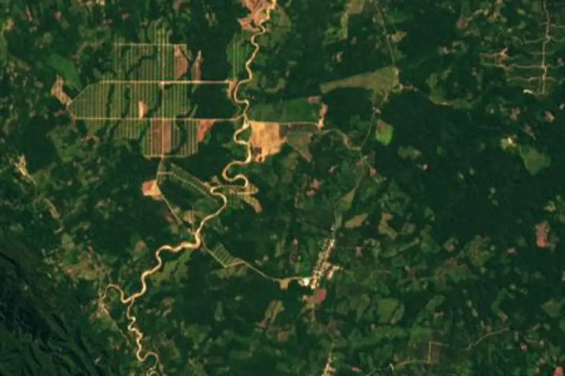
- Cleared block2 polygons
- Recent clearing4 polygons
- Logging road2 lines
- River1 line
What clear-cuts labeling is
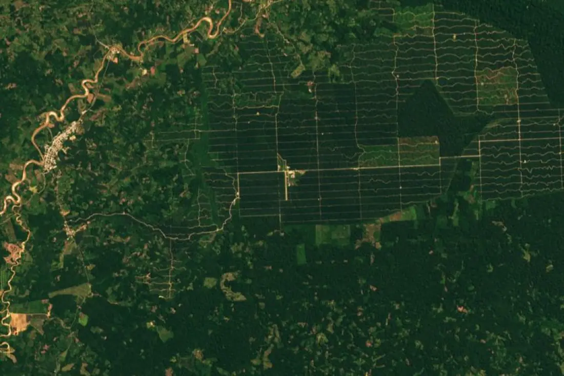
Clear-cuts have sharp, straight edges that set them apart from natural disturbance; new roads usually appear first. We label cut blocks, fresh clearings and access roads, and date them across an image series. In the example, a plantation grid has been cut into rainforest beside a river in Peru.
How we label it
Cut blocks are polygons with a cut date; roads are lines with a first-seen date. Partial or selective logging, which leaves canopy standing, is a separate class labeled on high-resolution imagery.
Who uses clear-cuts labels
Forest management
Map harvested blocks against cutting permits and management plans.
Illegal logging detection
Training data for models that spot new roads and cuts outside concessions.
Timber and pulp supply chains
Show where material is being harvested, for certification and due diligence.
EUDR and carbon
Separate harvest in managed forest from conversion to other land use.
How a project runs
Four steps, each ending in something you can check before the next one starts.
Brief
Area, dates and class list agreed in writing, with example images for every class and its edge cases.
You getWritten labeling guideline
Imagery
Your imagery, or sourced for you: free Sentinel and Landsat, or commercial high-resolution scenes.
You getScene list with dates and resolution
Labeling
Annotators work to the guideline. Anything the imagery cannot settle is flagged, not guessed.
You getLabels plus a log of flagged cases
Check & delivery
Every class is reviewed against a sample before the data leaves us.
You getData and per-class accuracy, in your format and CRS
Questions about clear-cuts
Can you see selective logging from space?
Partly. Roads and log landings are visible on high-resolution imagery; single felled trees under a closed canopy usually are not.
How is a clear-cut different from canopy loss?
Canopy loss is any lost tree cover; clear-cut labeling adds the harvest pattern (blocks, roads, dates) that forest managers and regulators work with.
Can you label against our concession boundaries?
Yes. Send them and each cut is tagged as inside or outside.
Related label types
Need clear-cuts labeled?
Tell us your area, your imagery and what your model has to learn. We reply with a proposed class list and a quote.