Flood extent labeling from satellite imagery
Flood extent labeling marks where water is on the ground during or after a flood, separated from rivers and lakes that are always there. It is the training data behind flood-mapping models and the evidence layer for claims and exposure.
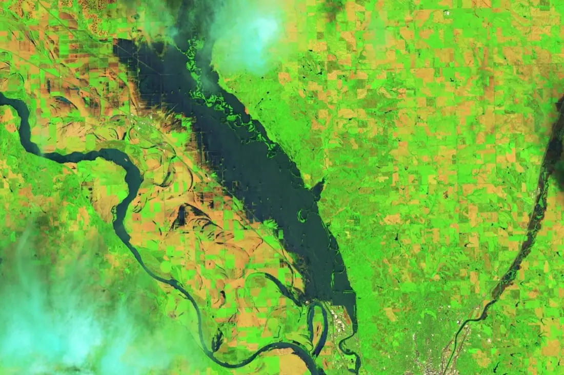
- Floodwater1 polygon
- Permanent river1 line
- Cloud (not observed)2 polygons
What flood extent labeling is
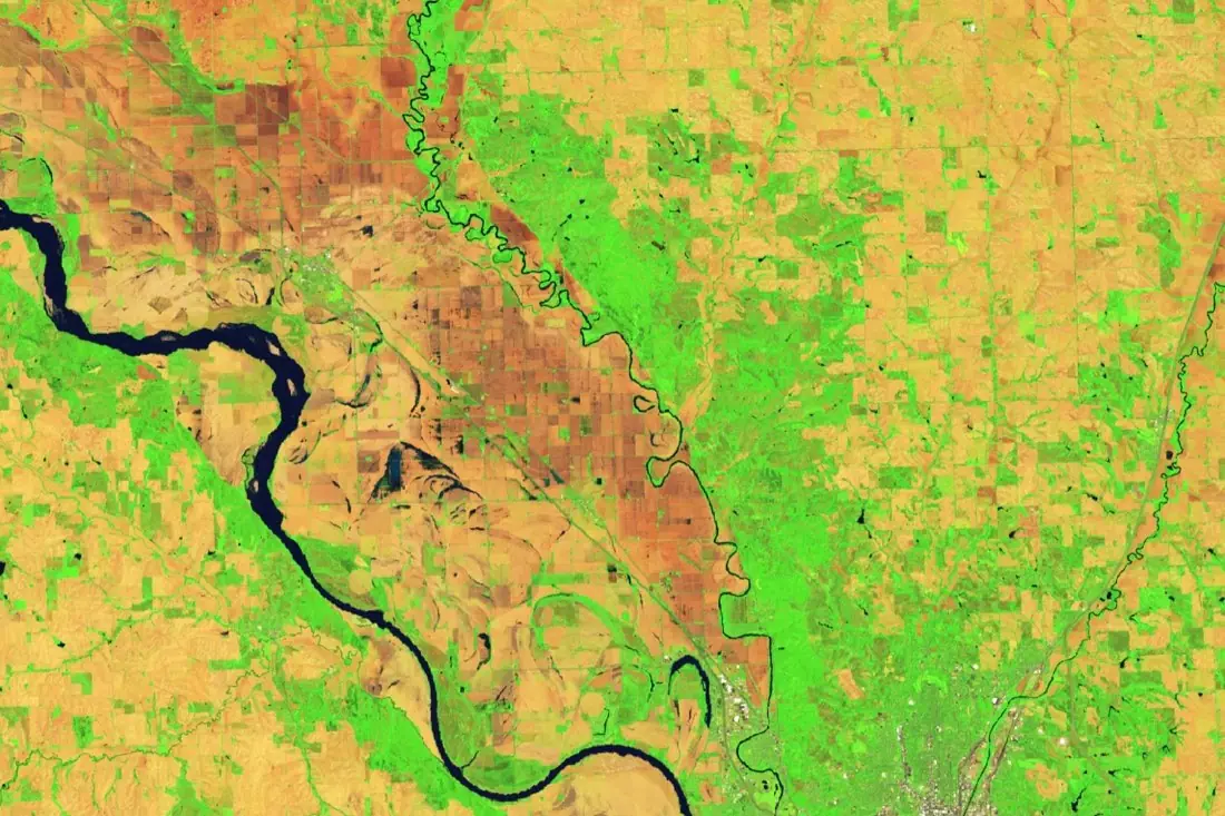
Floods arrive under clouds, so radar matters: Sentinel-1 sees water through cloud, day or night. We label floodwater on radar or optical images, subtract permanent water using a pre-flood reference, and mark cloud, shadow and no-data so they are never counted as dry ground. The image shows flooding in Iowa in June 2024 in false colour: water is dark, vegetation bright green.
How we label it
Every pixel ends up in one of four classes: floodwater, permanent water, dry land, or not observed (cloud, shadow, radar layover). Flooded vegetation and flooded urban areas, which radar shows differently, get their own classes when your model needs them.
Who uses flood extent labels
Claims triage
See which insured locations were under water before an adjuster is sent.
Flood-mapping models
Labeled flood polygons to train models that map the next event automatically.
Catastrophe models
Observed footprints to validate modelled flood extents.
Emergency response
A current picture of affected roads, farms and settlements.
How a project runs
Four steps, each ending in something you can check before the next one starts.
Brief
Area, dates and class list agreed in writing, with example images for every class and its edge cases.
You getWritten labeling guideline
Imagery
Your imagery, or sourced for you: free Sentinel and Landsat, or commercial high-resolution scenes.
You getScene list with dates and resolution
Labeling
Annotators work to the guideline. Anything the imagery cannot settle is flagged, not guessed.
You getLabels plus a log of flagged cases
Check & delivery
Every class is reviewed against a sample before the data leaves us.
You getData and per-class accuracy, in your format and CRS
Questions about flood extent
Optical or radar for floods?
Both have a place. Radar works through cloud and at night; optical is easier to read and better for shallow water among vegetation. We label whichever you have, or both.
How do you separate floodwater from rivers?
With a reference image from before the flood: water that was already there is permanent water.
Can you label flooded buildings?
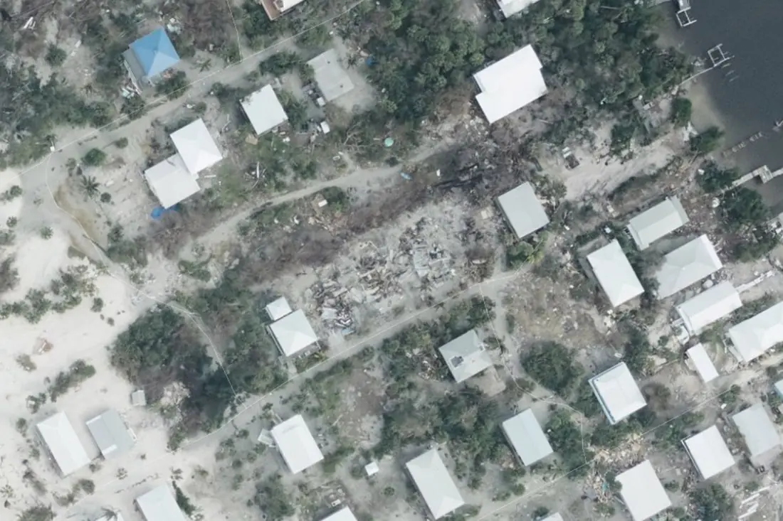
Flooded streets and plots show on high-resolution imagery. For damage to the buildings themselves, see building damage labeling.
Related label types
Need flood extent labeled?
Tell us your area, your imagery and what your model has to learn. We reply with a proposed class list and a quote.